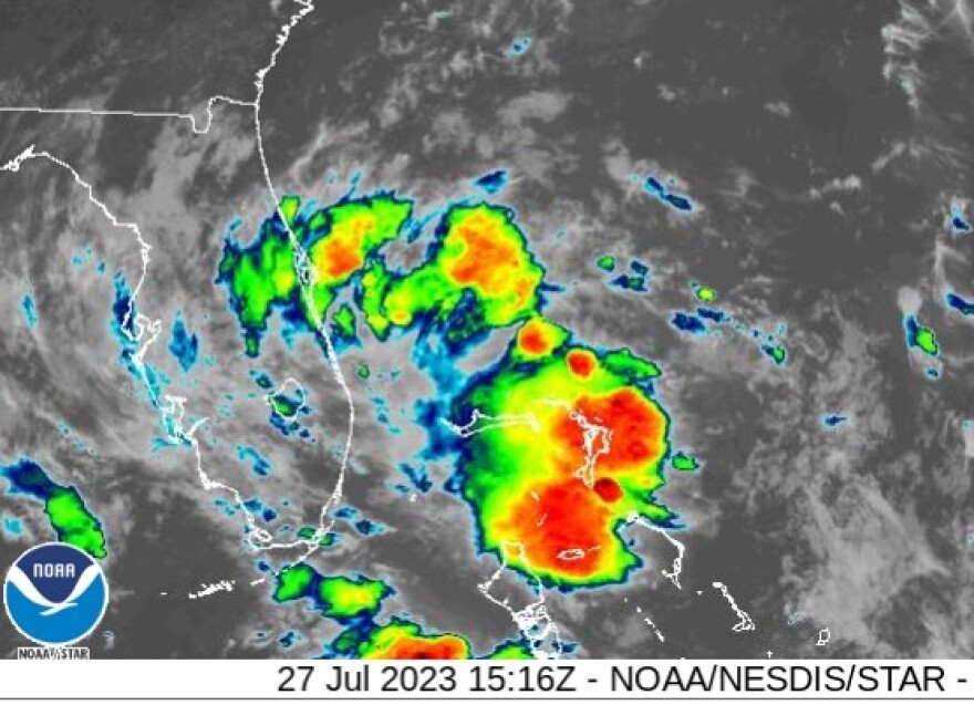
South Florida - Thursday July 27, 2023: After a seemingly endless streak of oppressive heat indices and record temperatures, a pattern shift is on tap for our area. Meteorologist Megan Borowski from the Florida Public Radio Emergency Network (FPREN) says that rounds of heavy rain and flash flooding are now in the forecast for South Florida,
"A mid-level disturbance, the same one that the National Hurricane Center (NHC) was watching for potential development, is tracking into our area from the east," said Borowski. "Although this won’t turn into a tropical system, it will kick up numerous rounds of downpours over the next several days." She warns that "as batches of thunderstorms continue to track over the same areas, the ground will become saturated, and flooding will be possible."
A Flood Watch is in effect through at least tonight over parts of south Florida, and Megan says that the risk for flash flooding will linger over the next few days as shower and thunderstorm chances remain elevated.
If flash flooding occurs, seek higher ground. If roads are flooded, seek alternate routes. Never drive through floodwaters.


