

Treasure Coast Weather
Florida Weather Headlines from FPREN
-
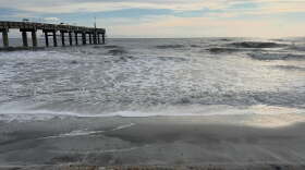 A flow off the Atlantic over the weekend and next week will lead to erosion, rough surf and the potential for flooding along the coast and nearby tributaries.
 -
 By watching the clouds, they can help predict changes in the weather. Cirrus clouds often indicate a change in the weather is coming while cumulonimbus clouds indicate storms.
 -
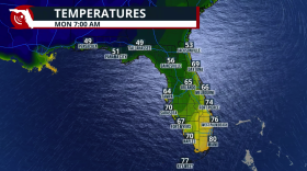 A cold front brings cooler air, lower humidity, and gusty winds
 -
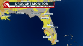 Florida is on track to reduce the drought as we finish the rainy season this month.
 -
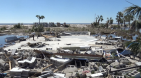 Hurricane Isaias brought the first hurricane strike to parts of Florida's central and eastern Panhandle since Michael in 2018. Eight years later, changes to North Florida's building standards are part of Michael's lasting legacy.
 -
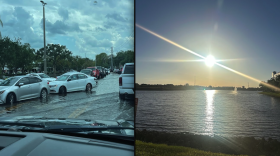 A weak cold front will lower rain chances and also bring slightlly lower humidity values for much of Florida for part of this week.
 -
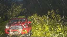 Hurricane Isaias made landfall just outside of Pensacola on Friday. After reaching major hurricane status, the cyclone weakened before landfall.
 -
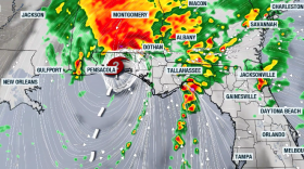 Damaging winds, tornadoes, and flash flood risk will continue throughout the weekend across the Southeast into the Mid-Atlantic.
 -
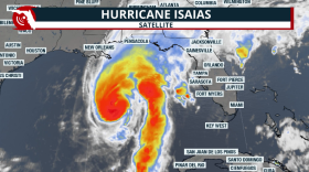 Numerous damaging tornadoes are possible even after the hurricane moves inland and weakens; the heavy rains will continue throughout Saturday morning across the Florida Panhandle. (Version in Spanish here, too)
 -
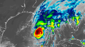 Landfalling tropical systems have a history of producing tornadoes, but the atmospheric ingredients around Hurricane Isaias appear conducive for supercells and tornadoes across northern Florida.


